Compare Notoacmea pileopsis
| toggle to add to compare list |
Taxonomy
Family: LOTTIIDAE Full Classification: Genus Synonyms: =Conacmea W.R.B. Oliver, 1926 =Notoacmea (Conacmea) W.R.B. Oliver, 1926 =Notoacmea (Notoacmea) Iredale, 1915 =Notoacmea (Parvacmea) Iredale, 1915 =Notoacmea (Subacmea) W.R.B. Oliver, 1926 =Parvacmea Iredale, 1915 =Subacmea W.R.B. Oliver, 1926 =Thalassacmea W.R.B. Oliver, 1926 Synonymised Names: =Notoacmea (Notoacmea) pileopsis (Quoy & Gaimard, 1834) accepted, alternate representation =Notoacmea (Notoacmea) pileopsis pileopsis (Quoy & Gaimard, 1834) =Patelloida pileopsis Quoy & Gaimard, 1834 |
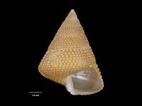
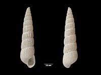
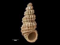
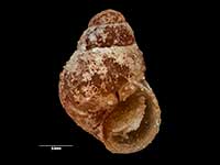
Images: Notoacmea pileopsis (Quoy & Gaimard, 1834)
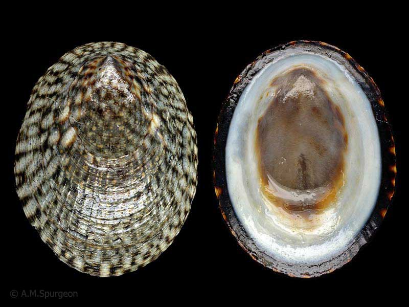
Tolaga Bay, East Cape. On rocks at low tide. 22mm
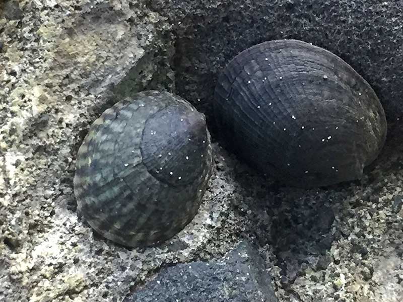
On rock ledges at mid-high tide. 20mm
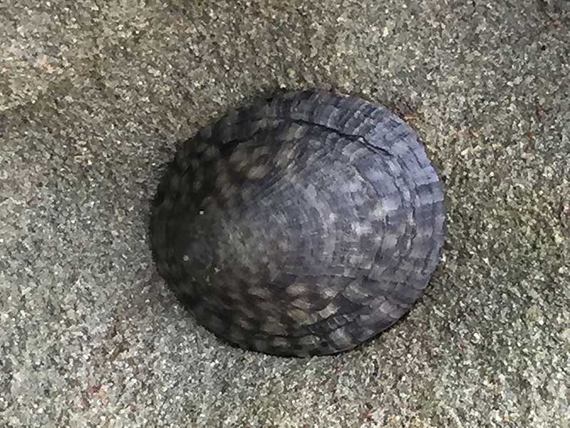
East Cape area, on sheltered rock ledges. 20mm
Taxonomy
Family: LOTTIIDAE Full Classification: Genus Synonyms: =Conacmea W.R.B. Oliver, 1926 =Notoacmea (Conacmea) W.R.B. Oliver, 1926 =Notoacmea (Notoacmea) Iredale, 1915 =Notoacmea (Parvacmea) Iredale, 1915 =Notoacmea (Subacmea) W.R.B. Oliver, 1926 =Parvacmea Iredale, 1915 =Subacmea W.R.B. Oliver, 1926 =Thalassacmea W.R.B. Oliver, 1926 Synonymised Names: =Notoacmea (Notoacmea) pileopsis (Quoy & Gaimard, 1834) accepted, alternate representation =Notoacmea (Notoacmea) pileopsis pileopsis (Quoy & Gaimard, 1834) =Patelloida pileopsis Quoy & Gaimard, 1834 |
Details: Notoacmea pileopsis (Quoy & Gaimard, 1834)
Size/Grows to:
Length 33mm, Width 28mm, Height 12mm
Distribution:
North Island and northern South Island
Geographical Range:
AC
Notes:
Species Links
Distribution Map
References and Publications
- Powell, A.W.B. 1979 New Zealand Mollusca: Marine, Land and Freshwater Shells, Collins, Auckland (p.47)
*98 © Museum of New Zealand Te Papa Tongarewa (CC-BY-NC-ND)
Key to Geographical Ranges

The symbols K.A.C.F.M.An. are used to indicate the geographical range of the species.
They have been adopted to give an approximation of the range of each species within New Zealand.
K=
Kermadec Islands
A=
Aupourian - Kaipara Harbour, north around North Cape, encompassing the Three Kings Islands and south to East Cape
C=
Cookian - Lower North Island and the northern part of the South Island
F=
Forsterian - Otago, Fiordland and Stewart Island
M=
Moriorian - Chatham Islands, Pitt Island
An=
Antipodean - Subantarctic Islands of New Zealand
Fw =
Freshwater
L =
Land
N =
North Island
S =
South Island
R =
Recent
Sf =
Subfossil
Fo =
Fossil
Compare Species (
/6)