Compare Coluzea mariae
| toggle to add to compare list |
Taxonomy
Family: COLUMBARIIDAE Full Classification: Mollusca (Phylum) > Gastropoda (Class) > Caenogastropoda (Subclass) > Neogastropoda (Order) > Turbinelloidea (Superfamily) > Columbariidae (Family) > Coluzea (Genus) > mariae (Species) |
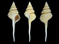
Images: Coluzea mariae (Powell, 1952)
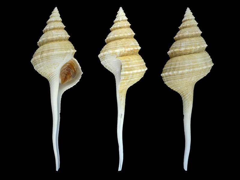
Trawled 400-450 metres, Chatham Rise, NZ. 91mm
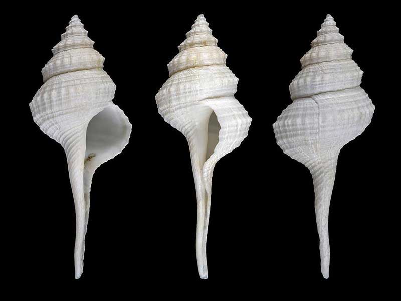
Trawled 450 metres, Chatham Rise, NZ. 69mm
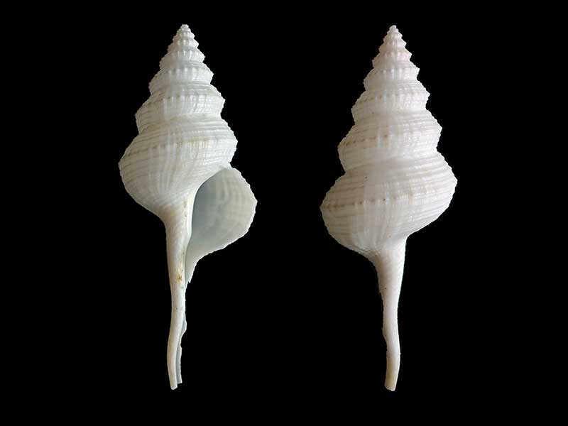
Trawled 150-200 metres, Mernoo Bank, W Chatham Rise, NZ
Taxonomy
Family: COLUMBARIIDAE Full Classification: Mollusca (Phylum) > Gastropoda (Class) > Caenogastropoda (Subclass) > Neogastropoda (Order) > Turbinelloidea (Superfamily) > Columbariidae (Family) > Coluzea (Genus) > mariae (Species) |
Details: Coluzea mariae (Powell, 1952)
Size/Grows to:
Height 106mm, Width 25mm
Distribution:
From Cape Campbell southward along eastern coast of South Island, western Campbell Plateau (off Auckland and Campbell Islands), and along western Chatham Rise
Geographical Range:
CFMAn
Notes:
Species Links
Distribution Map
References and Publications
- Harasewych, M.G. 2011 The Living Columbariinae (Gastropoda: Neogastropoda: Turbinellidae) of New Zealand, Zootaxa, 2744 (p.20)
- Powell, A.W.B. 1979 New Zealand Mollusca: Marine, Land and Freshwater Shells, Collins, Auckland (p.169)
- Powell, A.W.B. 1952 New Zealand Molluscan Systematics with Descriptions of New Species: Part 1, Records of the Auckland Institute and Museum, 4(3) (p.180) Original Description
*98 © Museum of New Zealand Te Papa Tongarewa (CC-BY-NC-ND)
Key to Geographical Ranges

The symbols K.A.C.F.M.An. are used to indicate the geographical range of the species.
They have been adopted to give an approximation of the range of each species within New Zealand.
K=
Kermadec Islands
A=
Aupourian - Kaipara Harbour, north around North Cape, encompassing the Three Kings Islands and south to East Cape
C=
Cookian - Lower North Island and the northern part of the South Island
F=
Forsterian - Otago, Fiordland and Stewart Island
M=
Moriorian - Chatham Islands, Pitt Island
An=
Antipodean - Subantarctic Islands of New Zealand
Fw =
Freshwater
L =
Land
N =
North Island
S =
South Island
R =
Recent
Sf =
Subfossil
Fo =
Fossil
Recently Viewed
Compare Species (
/6)