Compare Benthomodiolus lignocola
| toggle to add to compare list |
Taxonomy
Family: Subfamily: MYTILIDAE: BATHYMODIOLINAE Full Classification: Mollusca (Phylum) > Bivalvia (Class) > Pteriomorphia (Subclass) > Mytilida (Order) > Mytiloidea (Superfamily) > Mytilidae (Family) > Bathymodiolinae (Subfamily) > Benthomodiolus (Genus) > lignocola (Species) |
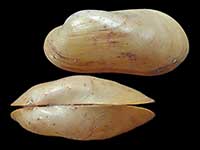
Images: Benthomodiolus lignocola Dell, 1987
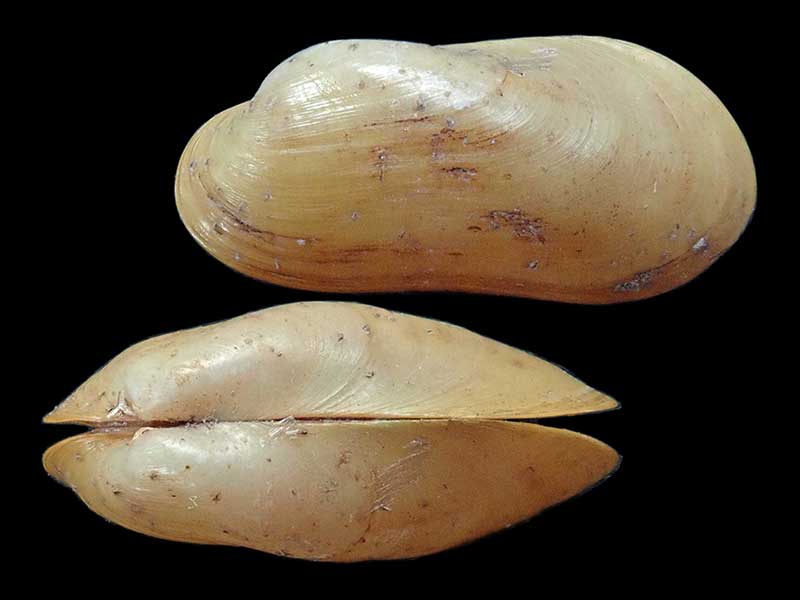
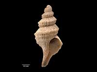
Trawled on sunken wood, 900-1200 metres, east of Cape Kidnappers, NZ. 13mm
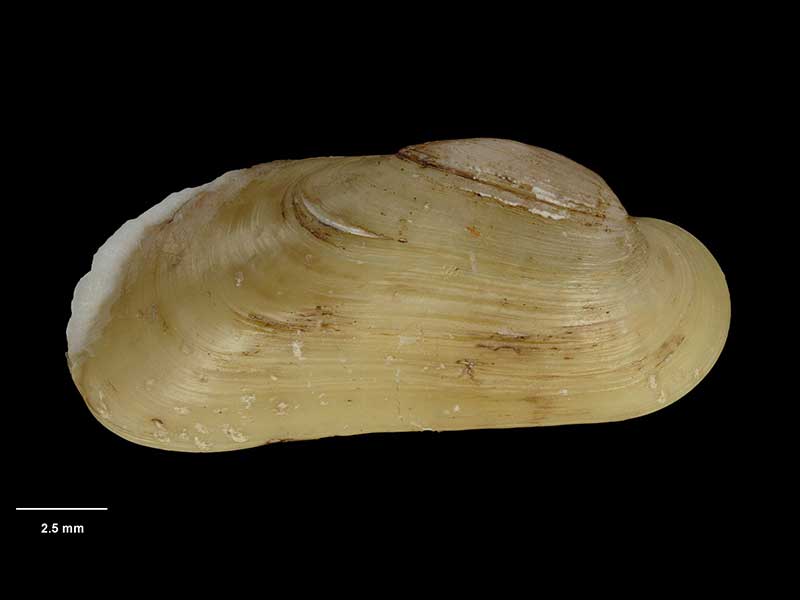
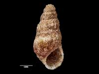
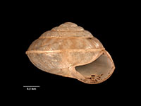
Holotype, collected east of White Island, Bay of Plenty, NZ (M.075023). © Museum of New Zealand Te Papa Tongarewa (CC-BY-NC-ND)
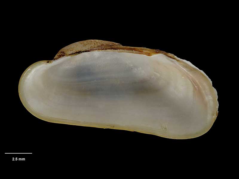
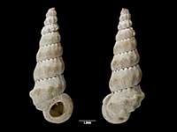
Holotype, collected east of White Island, Bay of Plenty, NZ (M.075023). © Museum of New Zealand Te Papa Tongarewa (CC-BY-NC-ND)
Taxonomy
Family: Subfamily: MYTILIDAE: BATHYMODIOLINAE Full Classification: Mollusca (Phylum) > Bivalvia (Class) > Pteriomorphia (Subclass) > Mytilida (Order) > Mytiloidea (Superfamily) > Mytilidae (Family) > Bathymodiolinae (Subfamily) > Benthomodiolus (Genus) > lignocola (Species) |
Details: Benthomodiolus lignocola Dell, 1987
Distribution:
North Island and Chatham Rise. On bored logs
Geographical Range:
ACM
Notes:
Species Links
Distribution Map
References and Publications
- Dell, R.K. 1987 Mollusca of the family Mytilidae (Bivalvia) associated with organic remains from deep water off New Zealand, with revisions of the genera Adipicola Dautzenberg, 1927 and Idasola Iredale, 1915, National Museum of New Zealand Records, 3 (p.33) Original Description
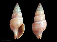
*98 © Museum of New Zealand Te Papa Tongarewa (CC-BY-NC-ND)
Key to Geographical Ranges

The symbols K.A.C.F.M.An. are used to indicate the geographical range of the species.
They have been adopted to give an approximation of the range of each species within New Zealand.
K=
Kermadec Islands
A=
Aupourian - Kaipara Harbour, north around North Cape, encompassing the Three Kings Islands and south to East Cape
C=
Cookian - Lower North Island and the northern part of the South Island
F=
Forsterian - Otago, Fiordland and Stewart Island
M=
Moriorian - Chatham Islands, Pitt Island
An=
Antipodean - Subantarctic Islands of New Zealand
Fw =
Freshwater
L =
Land
N =
North Island
S =
South Island
R =
Recent
Sf =
Subfossil
Fo =
Fossil
Compare Species (
/6)