Compare Acesta maui
| toggle to add to compare list |
Taxonomy
Family: LIMIDAE Full Classification: Genus Synonyms: =Acesta (Acesta) H. & A. Adams, 1858 accepted, alternate representation =Acesta (Callolima) Bartsch, 1913 accepted, alternate representation =Acesta (Plicacesta) H.E. Vokes, 1963 accepted, alternate representation =Lima (Acesta) H. & A. Adams, 1858 =Lima (Plicacesta) H.E. Vokes, 1963 =Plicacesta H.E. Vokes, 1963 |
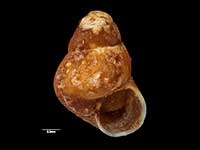
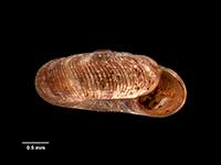
Images: Acesta maui B.A. Marshall, 2001
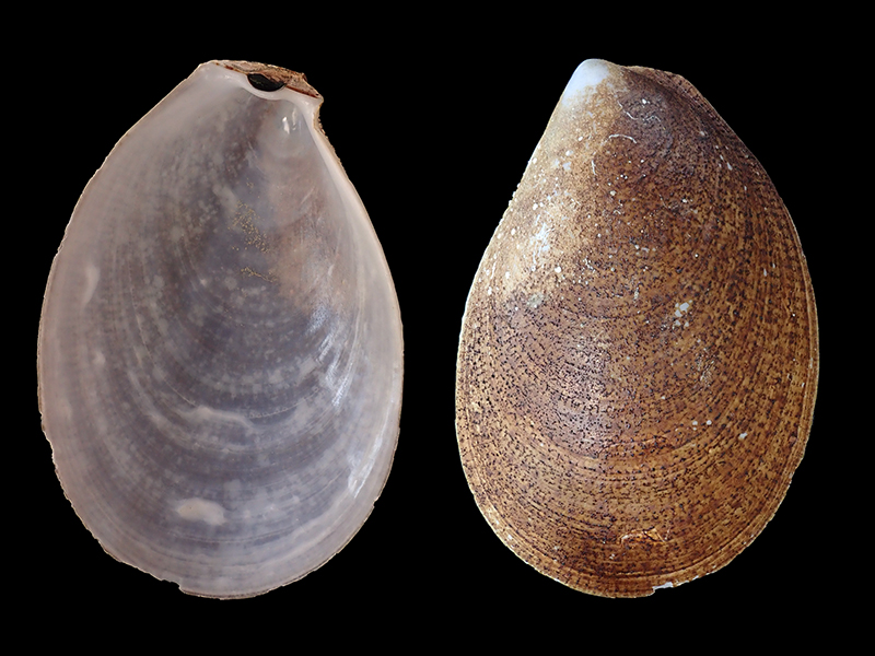
W of Stewart Island, NZ. 124mm
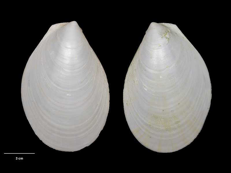
Holotype, collected 31 Aug 1987, SE of Cambell Island, NZ (M.147265). 130mm. © Museum of New Zealand Te Papa Tongarewa (CC-BY-NC-ND)
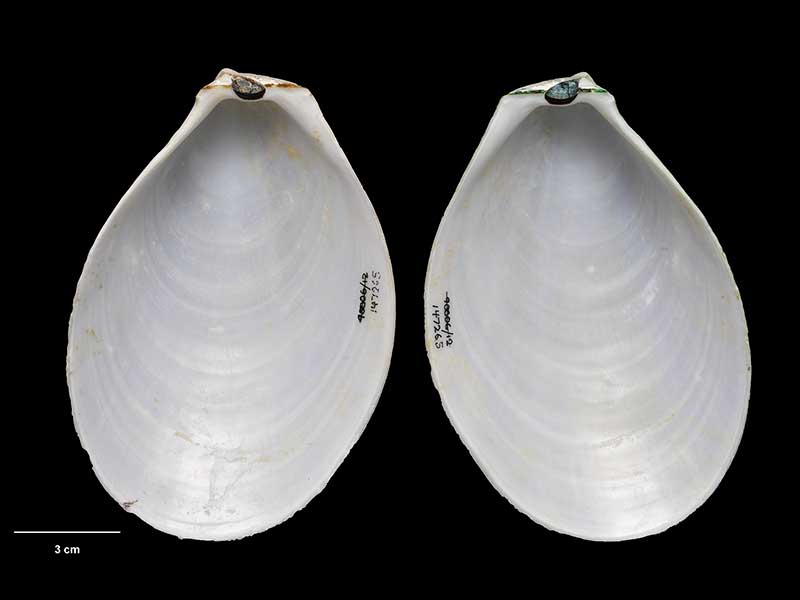
Holotype, collected 31 Aug 1987, SE of Cambell Island, NZ (M.147265). 130mm. © Museum of New Zealand Te Papa Tongarewa (CC-BY-NC-ND)
Taxonomy
Family: LIMIDAE Full Classification: Genus Synonyms: =Acesta (Acesta) H. & A. Adams, 1858 accepted, alternate representation =Acesta (Callolima) Bartsch, 1913 accepted, alternate representation =Acesta (Plicacesta) H.E. Vokes, 1963 accepted, alternate representation =Lima (Acesta) H. & A. Adams, 1858 =Lima (Plicacesta) H.E. Vokes, 1963 =Plicacesta H.E. Vokes, 1963 |
Details: Acesta maui B.A. Marshall, 2001
Size/Grows to:
Height 130mm, Width 90mm
Distribution:
Norfolk Ridge NW of Cape Reinga, Cook Strait, north-eastern and south-western South Island, Auckland and Campbell Islands, Bounty Plateau, Pukaki Rise and Chatham Rise
Geographical Range:
ACFMAn
Notes:
Species Links
Distribution Map
References and Publications
- Marshall, B.A. 2001 The genus Acesta H. & A. Adams, 1858 in the south-west Pacific (Bivalvia: Limidae). p97-109 in P. Bouchet and B.A. Marshall (eds) Tropical Deep-sea Benthos, volume 22, Mémoires du Muséum National d'Histoire Naturelle, 185 (p.99) Original Description
*98 © Museum of New Zealand Te Papa Tongarewa (CC-BY-NC-ND)
Key to Geographical Ranges

The symbols K.A.C.F.M.An. are used to indicate the geographical range of the species.
They have been adopted to give an approximation of the range of each species within New Zealand.
K=
Kermadec Islands
A=
Aupourian - Kaipara Harbour, north around North Cape, encompassing the Three Kings Islands and south to East Cape
C=
Cookian - Lower North Island and the northern part of the South Island
F=
Forsterian - Otago, Fiordland and Stewart Island
M=
Moriorian - Chatham Islands, Pitt Island
An=
Antipodean - Subantarctic Islands of New Zealand
Fw =
Freshwater
L =
Land
N =
North Island
S =
South Island
R =
Recent
Sf =
Subfossil
Fo =
Fossil

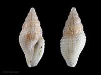
Compare Species (
/6)