Compare Meridiopyrgus muaupoko
| toggle to add to compare list |
Taxonomy
Family: TATEIDAE Full Classification: Mollusca (Phylum) > Gastropoda (Class) > Caenogastropoda (Subclass) > Littorinimorpha (Order) > Truncatelloidea (Superfamily) > Tateidae (Family) > Meridiopyrgus (Genus) > muaupoko (Species) |
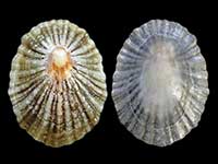
Images: Meridiopyrgus muaupoko Haase, 2008

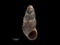
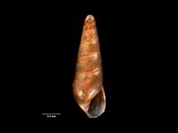
Holotype, collected 09 Jan 2003, Dunedin, spring in native forest on basalt beside Mount Cargill Walkway, NZ (M.174181). 2.3mm. © Museum of New Zealand Te Papa Tongarewa (CC-BY-NC-ND)
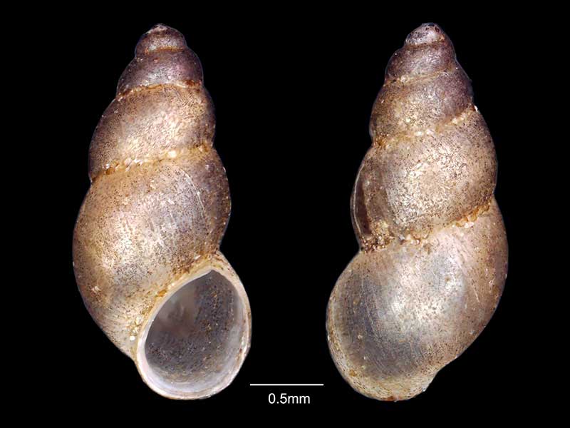
Collected May 2021, Hoods Creek Track, Herbert Forest, Otago, NZ. 2.5mm
Taxonomy
Family: TATEIDAE Full Classification: Mollusca (Phylum) > Gastropoda (Class) > Caenogastropoda (Subclass) > Littorinimorpha (Order) > Truncatelloidea (Superfamily) > Tateidae (Family) > Meridiopyrgus (Genus) > muaupoko (Species) |
Details: Meridiopyrgus muaupoko Haase, 2008
Size/Grows to:
Height 2.3mm, Width 1.0mm
Distribution:
Dunedin to the Catlins, South Island. In springs and streamlets
Geographical Range:
Fw.S.
Notes:
Species Links
Distribution Map
References and Publications
- Cresswell, P.L. Nov/2021 Spreading the Freshwater Snail Net in Otago, Cookia, 33 (p.15)
- Haase, M. 2008 The radiation of hydrobiid gastropods in New Zealand: a revision including the description of new species based on morphology and mtDNA sequence information, Systematics and Biodiversity, 6(1) (p.146) Original Description
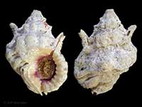
*98 © Museum of New Zealand Te Papa Tongarewa (CC-BY-NC-ND)
Key to Geographical Ranges

The symbols K.A.C.F.M.An. are used to indicate the geographical range of the species.
They have been adopted to give an approximation of the range of each species within New Zealand.
K=
Kermadec Islands
A=
Aupourian - Kaipara Harbour, north around North Cape, encompassing the Three Kings Islands and south to East Cape
C=
Cookian - Lower North Island and the northern part of the South Island
F=
Forsterian - Otago, Fiordland and Stewart Island
M=
Moriorian - Chatham Islands, Pitt Island
An=
Antipodean - Subantarctic Islands of New Zealand
Fw =
Freshwater
L =
Land
N =
North Island
S =
South Island
R =
Recent
Sf =
Subfossil
Fo =
Fossil
Compare Species (
/6)