Compare Hiatella sp.
| toggle to add to compare list |
Taxonomy
Family: HIATELLIDAE Full Classification: Mollusca (Phylum) > Bivalvia (Class) > Autobranchia (Subclass) > Heteroconchia (Infraclass) > Euhetrodonta (Subterclass) > Imparidentia (Superorder) > Adapedonta (Order) > Hiatelloidea (Superfamily) > Hiatellidae (Family) > Hiatella (Genus) > sp. (Species) |
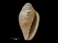
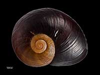
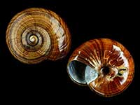
Images: Hiatella sp.
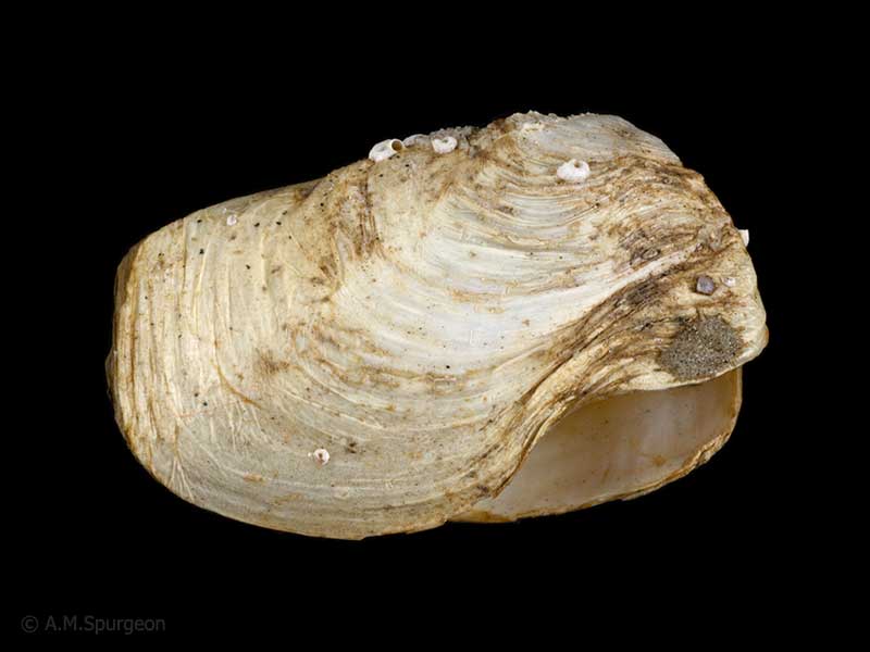
Under rock at 10 metres, Mathesons Bay, Leigh, Northland, NZ. 22mm
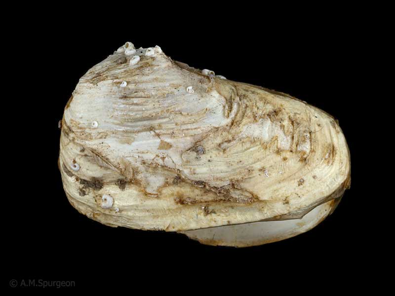
Under rock at 10 metres, Mathesons Bay, Leigh, Northland, NZ. 22mm
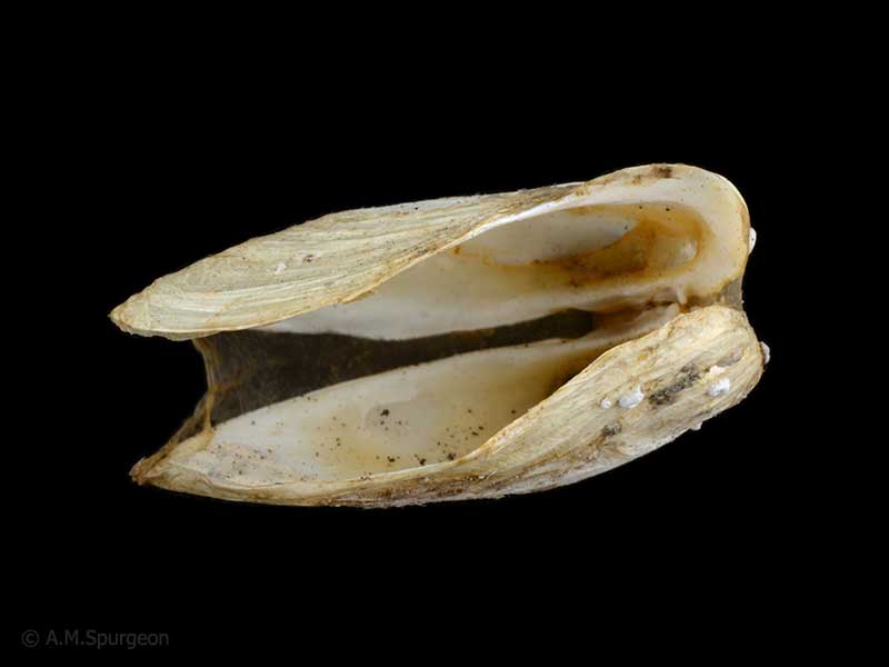
Under rock at 10 metres, Mathesons Bay, Leigh, Northland, NZ. 22mm
Taxonomy
Family: HIATELLIDAE Full Classification: Mollusca (Phylum) > Bivalvia (Class) > Autobranchia (Subclass) > Heteroconchia (Infraclass) > Euhetrodonta (Subterclass) > Imparidentia (Superorder) > Adapedonta (Order) > Hiatelloidea (Superfamily) > Hiatellidae (Family) > Hiatella (Genus) > sp. (Species) |
Details: Hiatella sp.
Size/Grows to:
Length 22mm, Height 14mm
Distribution:
Middlesex and King banks, and Kermadec, Three Kings, North, South, Stewart, Snares, Auckland, Campbell, Antipodes, Bounty and Chatham Islands
Geographical Range:
ACFMAn
Notes:
Species Links
Distribution Map
References and Publications
- Morley, M.S. Nov/1998 Hiatellidae: Hiatella arctica (Linnaeus, 1767) and Panopea zelandica (Quoy & Gaimard, 1835), Poirieria, 23 (p.2)
- Powell, A.W.B. 1979 New Zealand Mollusca: Marine, Land and Freshwater Shells, Collins, Auckland (p.428)
*98 © Museum of New Zealand Te Papa Tongarewa (CC-BY-NC-ND)
Key to Geographical Ranges

The symbols K.A.C.F.M.An. are used to indicate the geographical range of the species.
They have been adopted to give an approximation of the range of each species within New Zealand.
K=
Kermadec Islands
A=
Aupourian - Kaipara Harbour, north around North Cape, encompassing the Three Kings Islands and south to East Cape
C=
Cookian - Lower North Island and the northern part of the South Island
F=
Forsterian - Otago, Fiordland and Stewart Island
M=
Moriorian - Chatham Islands, Pitt Island
An=
Antipodean - Subantarctic Islands of New Zealand
Fw =
Freshwater
L =
Land
N =
North Island
S =
South Island
R =
Recent
Sf =
Subfossil
Fo =
Fossil

Compare Species (
/6)